The world’s preferred remote sensing software package
ERDAS IMAGINE, the world’s leading geospatial data authoring system, supplies tools for all your Remote Sensing, Photogrammetry and Geospatial Analysis needs.
Request pricing
ERDAS IMAGINE overview
Geographic imaging professionals need to process vast amounts of geospatial data every day — often relying on software designed for other purposes and add-on applications that create almost as many problems as they solve. Save both time and money, leverage existing data investments, and improve your image analysis capabilities with ERDAS IMAGINE.
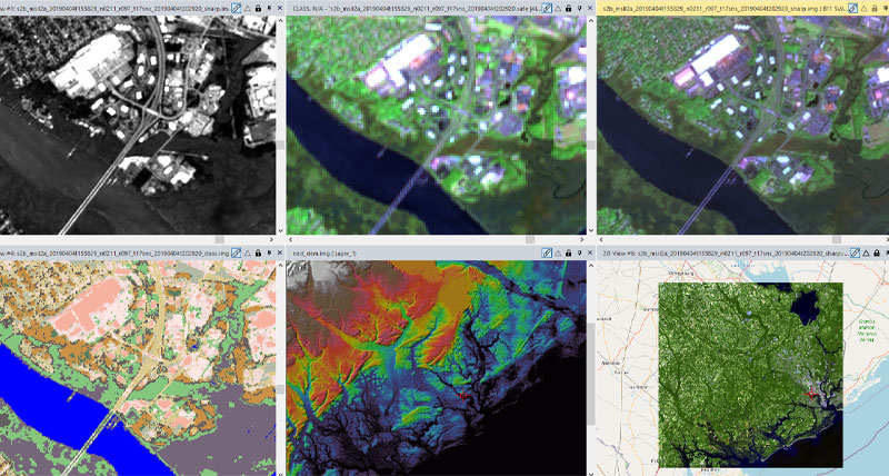
ERDAS IMAGINE provides true value, consolidating remote sensing, photogrammetry, LiDAR analysis, basic vector analysis, and radar processing into a single product.
ERDAS IMAGINE capabilities
Discover the potential of your imagery
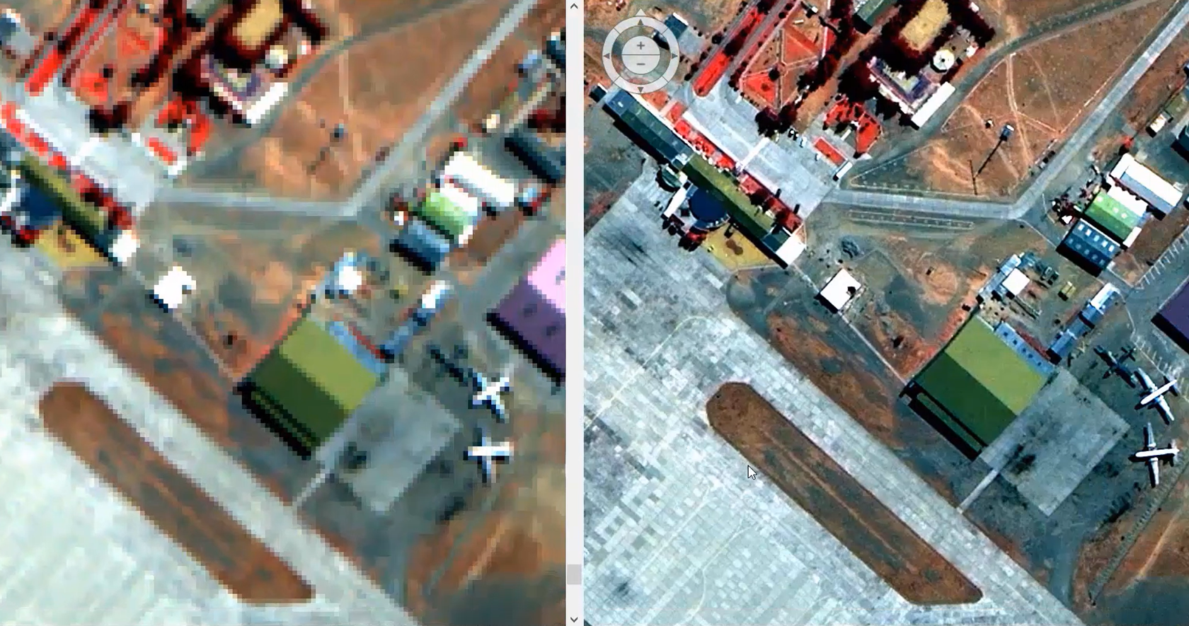
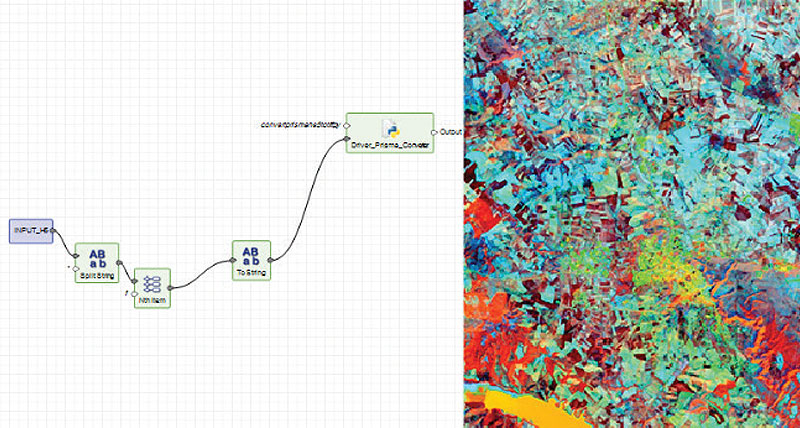
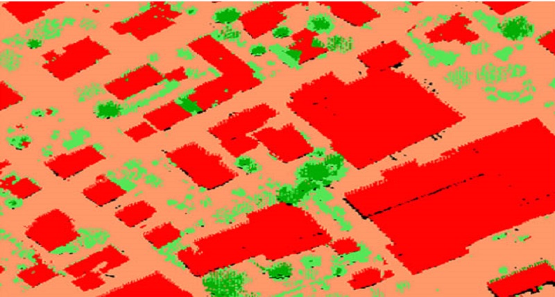
ERDAS IMAGINE simplifies image classification and segmentation, orthorectification, mosaicking, reprojection, elevation extraction and image interpretation.
Streamline your workflow and save time
Powerful algorithms and data processing functions work behind the scenes so you can concentrate on your analyses.
Multiple classification solutions
ERDAS IMAGINE offers K-Means, ISODATA, object-based image segmentation, Machine Learning and Deep Learning Artificial Intelligence algorithms.
The power of spatial modeler
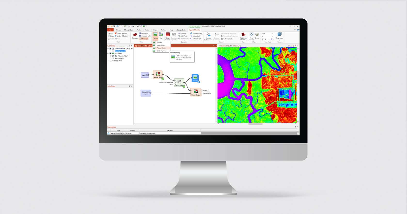
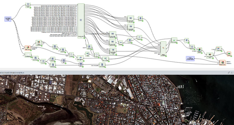
The Spatial Modeler’s graphical editing environment provides flexibility to capture domain expertise and turn it into re-usable algorithms.
Point cloud processing
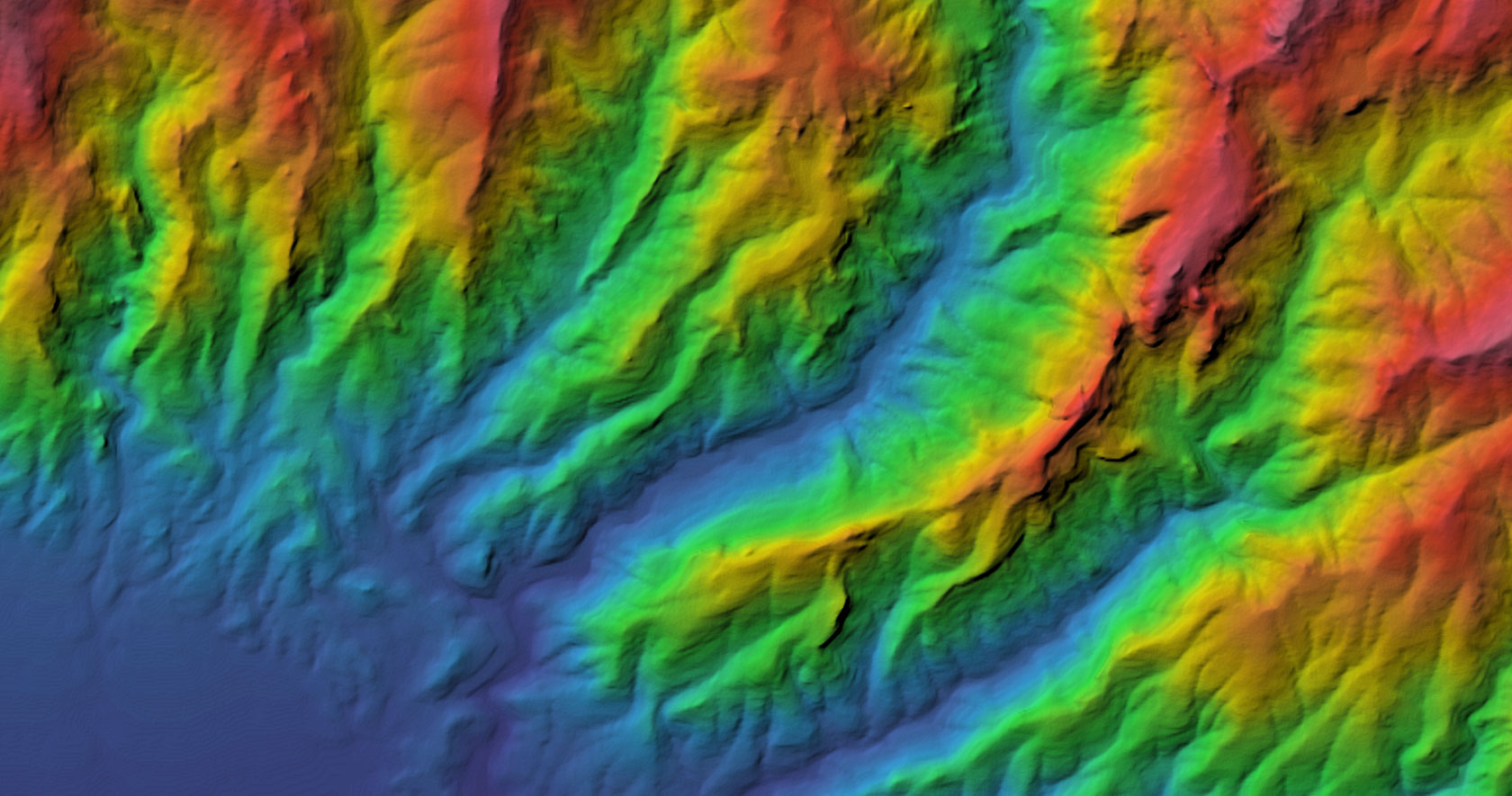
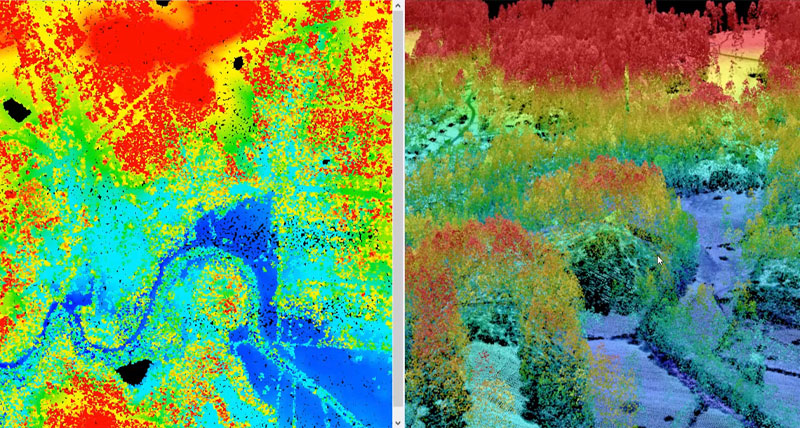
ERDAS IMAGINE fully enables the display, editing and analysis of point clouds derived from LiDAR or point correlation of stereo pairs.
-
Brochures
-
Case studies
- mySentinel: German officials can automatically download, process and share terabytes of data
- Modernizing operations for mapping needs in Kenya
- Monitoring forest cover changes in Madhya Pradesh
- Hexagon geospatial's cloud-based solution helps map entire country of Germany
- Managing river flood risks in Romania and Bulgaria
- Streamlining forest management with web-based geoportals
- Tracking invasive tree species in South Africa The Agricultural Research Council (ARC)
- Tracking the source of the Essequibo River in South America
- Streaming national maps as a service to India
-
Videos
- Oil palm mapping tech talk
- Building footprint extraction from point cloud data tech talk
- Geospatial industry: Get the most out of AI, machine learning and deep learning - part 1
- Geospatial industry: Get the most out of AI, machine learning and deep learning - part 2
- CLAHE (Contrast Limited Adaptive Histogram Equalization) tech talk
- MosaicPro optimal seamline generation method tech talk
- GLCM (Grey-Level Co-Occurrence Matrix) tech talk
- Gathering subsidence and displacement data with SAR time-series analysis tech talk
- Image analysis workflow using SIPS in ERDAS IMAGINE
- Quarry volume change identification and computation with ERDAS IMAGINE
- Contrast Limited Adaptive Histogram Equalization (CLAHE) algorithm in ERDAS IMAGINE
-
White papers
- Building detection from aerial and satellite images using semantic segmentation
- Automated information extraction for radar-derived information
- Monetizing location information
- Machine learning and deep learning for geospatial applications
- Statewide tree canopy extraction from NAIP whitepaper
- Utilizing free-use satellite images and remote sensing software to detect landslides
-
Technical documents
- ERDAS IMAGINE 2022 update 2 release guide
- ERDAS IMAGINE 2022 update 1 release guide
- ERDAS IMAGINE 2022 release guide
- ERDAS IMAGINE 2022 product description
- ERDAS IMAGINE 2020 update 3 release guide
- ERDAS IMAGINE 2020 update 2 release guide
- ERDAS IMAGINE 2020 release guide
- ERDAS IMAGINE 2020 product description
- ERDAS IMAGINE 2018 release guide
- ERDAS IMAGINE 2018 product description
- Image compression in ERDAS IMAGINE
- SAR capabilities in ERDAS IMAGINE and M.App X
- Supported data formats in ERDAS IMAGINE
- Producer field guide
- Online help
-
Tutorials


